Maps and Locations
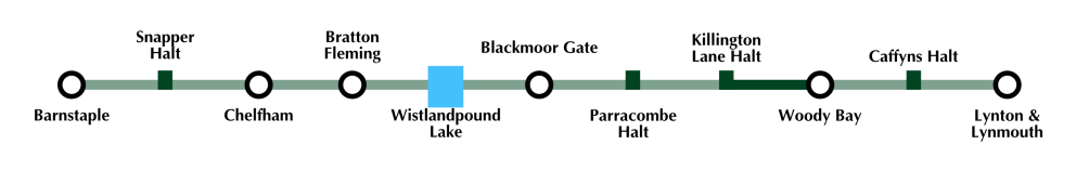
This map represents the overall route of the original railway. The dark green line shows the currently operational section between Woody Bay and Killington Lane.
Please click the links below for more details of the L&B route and key locations owned by the various organisations associated with the restoration of the railway.
External Links
Please Note: These external sites are not under the control of the Lynton & Barnstape Railway
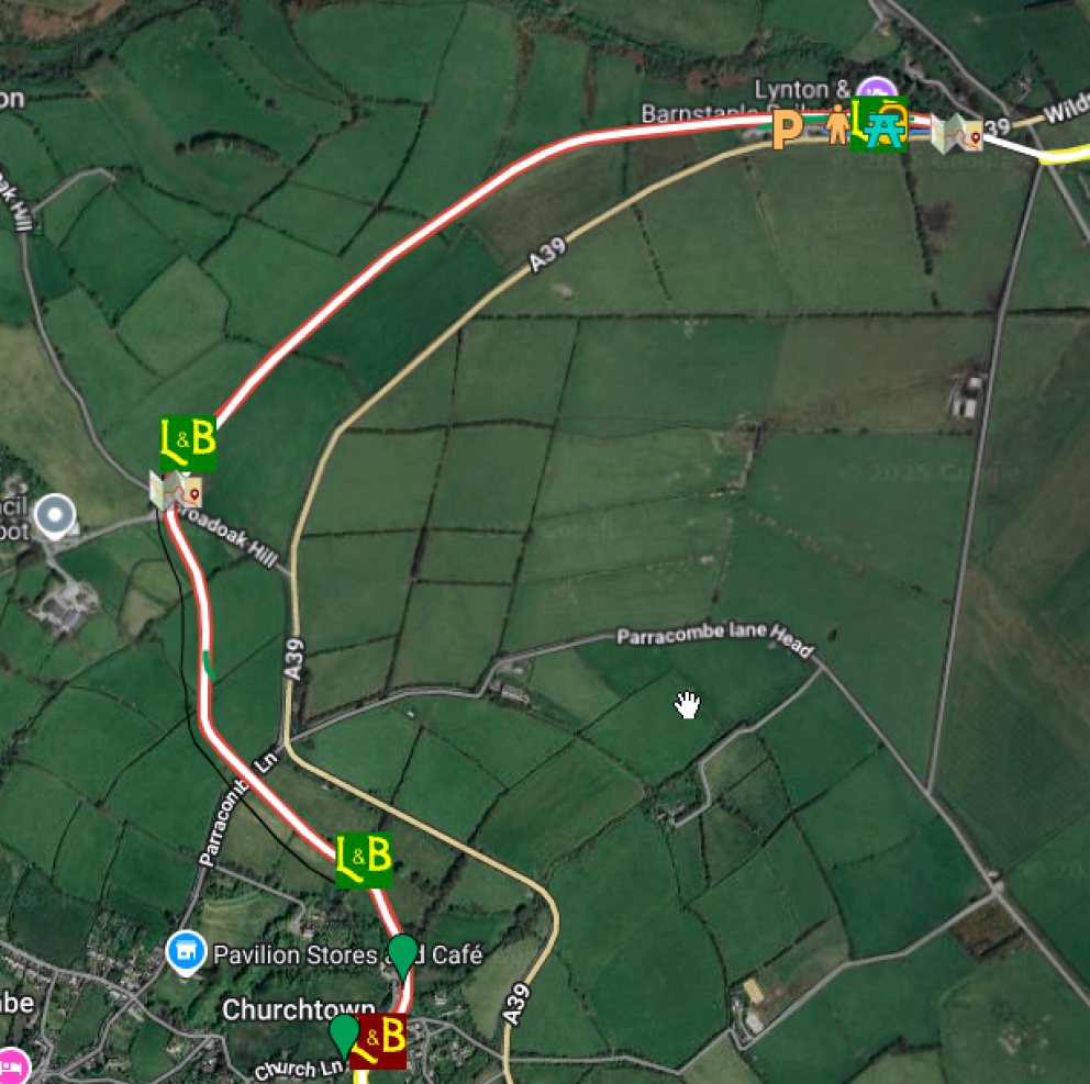
Google Maps: A user generated marked-up map showing the route of the railway (Credit: L&B Volunteer Chris Lane)